Programme Overview
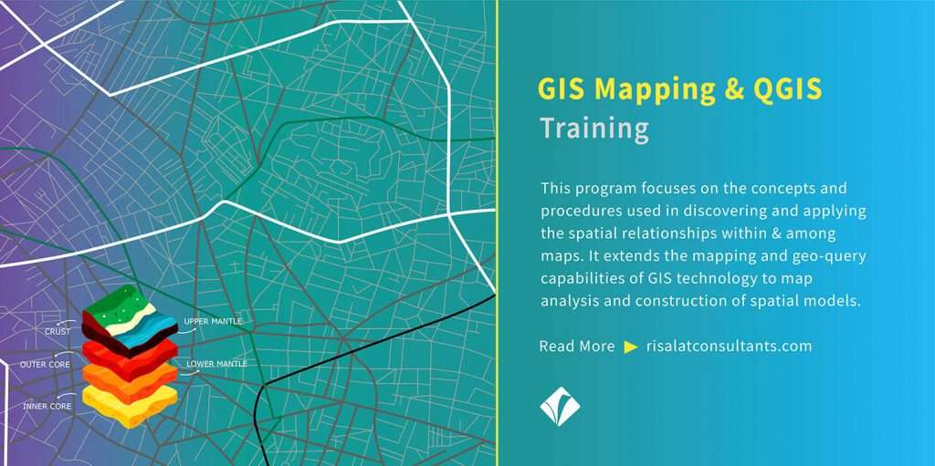
This course focuses on the concepts and procedures used in discovering and applying the spatial relationships within and among maps. It extends the mapping and geo-query capabilities of GIS technology to map analysis and construction of spatial models. This programme has been designed for participants to develop their skills using the Open Source Geographic Information System (GIS) software package Quantum GIS (QGIS) as a more cost-effective alternative to commercially available GIS packages such as ArcGIS and MapInfo.
Target Audience
GIS Mapping & QGIS Training in Abu Dhabi, UAE is the best suit for:
- GIS Users and Experts
- Geographers and Cartographers
- Geoscientists
- Surveyors and Planners
- M&E Professionals.
Objectives
- Enable participants to develop practical skills in QGIS for more robust ecological decision-making and best practice purposes
- Explain the importance of the application of GIS in ecological decision-making
- Enable participants to become familiar with the main functionality of QGIS
- Teach participants simple techniques to enable them to build, manage and analyze ecological datasets
- Demonstrate how basic field survey data may be captured and imported into QGIS
- Guide participants how to produce map layouts for inclusion in reports.
Programme Contents
- The types, components and capabilities of GIS
- Spatial Data Types and Coordinate Systems
- Spatial Data Infrastructure
- The importance of ecological decision-making being based on spatially accurate ecological data through the application of GIS
- Project setup
- Setting geographical coordinates for your data frame (georeferencing)
- Adding Raster and Vector data to your Project
- Managing Raster and Vector data
- Creating and editing spatial data
- Getting to know your way around QGIS
- Data analysis
- Looking at data at different scales
- Symbology
- Techniques to produce map layouts for inclusion in reports using Print Composer.
Programme Methodology
GIS Mapping & QGIS Training in Abu Dhabi, UAE focuses on developing hands-on skills through individual computer-based practical sessions as opposed to group demonstrations. The computer-based practical sessions will be complemented by open presentations, a brief field exercise and several group assignments.
£2,700 per participant · invoice and bank transfer · groups of 5 or more receive a discount
Five or more from one organisation: ask for the group rate on the invoice request.
Ten or more: an in-house version for your institution may cost less per person. Ask for an in-house quote.
Registration closes in 14 days (1 Nov 2026)