

Vue d'ensemble
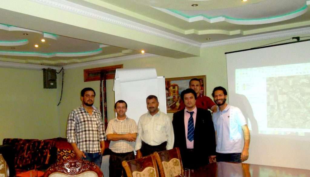
A GIS mapping and QGIS training course was delivered to introduce participants to geographical information systems. The programme was designed for users with little to no prior experience, focusing on building foundational skills in GIS applications.
The training was provided for delegates from Afghan organisations across various industries and domains, presenting open-source software as a viable, cost-effective alternative to commercial packages.
Client and context
The participants represented various Afghan organisations operating in different industries and domains. The course took place in Dushanbe, Tajikistan, targeting individuals seeking an entry-level understanding of GIS tools without relying on commercial solutions such as ArcGIS and MapInfo.
Objectives
- Form foundational skills for GIS applications
- Teach participants how to utilise the open-source GIS software package QUANTUM (QGIS) as a cost-effective alternative to commercial software such as ArcGIS and MapInfo
- Provide a general understanding of the tools and features used in QGIS to create and edit maps, create new layers, and produce high-quality outputs
- Develop hands-on experience in GIS tools
What we delivered
- A three-day training programme on GIS mapping and QGIS
- Instruction on tools and features for creating and editing maps
- Guidance on creating new layers and producing high-quality outputs
- Individual computer-based practical sessions
- Group assignments
Approach
The training focused on practical, hands-on learning tailored to beginners, combining personal practice on computers with collaborative tasks.
- Individual computer-based practical sessions
- Group assignments
- Step-by-step guidance on open-source software tools and features
Results and outputs
- Five delegates completed the three-day training course
- Participants gained foundational skills and a general understanding of QGIS for map creation, editing, and layer management
At a glance
| Type de client | Afghan organisations from various industries and domains |
|---|---|
| Pays | Tadjikistan |
| Location | Atlas Guesthouse, Dushanbe |
| Année | 2015 |
| Format | In-person training course |
| Durée | 3 days (2nd, 3rd, and 4th October 2015) |
| Participants | 5 delegates |